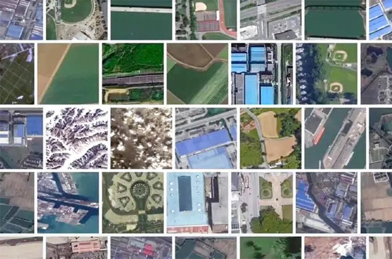
 China Unveils World's First 10 Billion Parameter Remote Sensing Foundation Model
(Yicai) Sept. 23 -- A research team from the Chinese Academy of Sciences has launched the world's first remote sensing foundation model with over 10 billion parameters at a new industry forum.
Version 3.0 of the Kongtian· Lingmou model, jointly developed by the CAS' Aerospace Information Research Institute and Shenzhen-based Peng Cheng Laboratory, was unveiled at the first Aerospace Information Technology Conference on Sept. 21. It can potentially provide precise services in various scenarios, including environmental protection.
The large-scale model has begun trial operations in multiple sectors, including emergency response, land resources, marine affairs, and urban construction, showing its capability to handle highly challenging tasks, according to the development team.
The parameters of the foundation model function as its "memory and knowledge cells," said Sun Xian, a researcher at the Aerospace Information Research Institute. The more parameters it has, the more accurately it can handle complex tasks, he added.
Large-scale remote sensing models show application potential in various fields, including environmental monitoring and protection, carbon neutrality, agriculture and natural resource management, urban planning and development, as well as emergency response and disaster management, a senior space science researcher told Yicai.
Regular monitoring and protection of large forest areas can be achieved using remote sensing models, and major food crops on the ground can also be precisely identified, according to the researcher.
Launching Kongtian· Lingmou version 3.0 is a significant step forward in China's artificial intelligence and earth observation capabilities. It will likely offer valuable tools for decision-makers in various sectors to address complex environmental and resource management challenges.
Editors: Tang Shihua, Martin Kadiev