 China's First Industrial Park for Satellite Navigation Gains Over 100 Firms
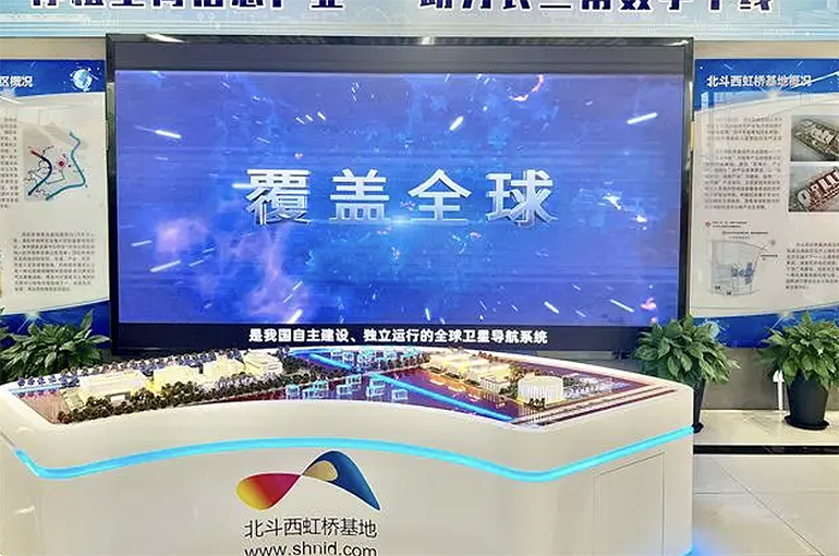
(Yicai Global) May 8 -- China's first industrial park that focuses on the country's satellite navigation system has grown to house over 100 related firms in a decade since the launch to increase self-sufficiency.
In the past 10 years, the China BeiDou Industrial Technology Innovation West Hongqiao Base has started replacing imported technologies with domestic ones amid market development, Zhu Qiang, president of the industrial park, told Yicai Global.
The base, located in Shanghai’s Qingpu district, is home to firms such as Huace Navigation Technology, a developer of high-precision positioning devices which contributed to China's effort of remeasuring Mount Everest in 2020 and went public in 2017, as well as AllyNav Technology and Highgain Information Technology.
The industrial park makes up more than a quarter of all domestic products designed for the Chinese version of GPS that provides positioning data for mapping companies. The output value of the base topped CNY6.6 billion (USD954.3 million) last year, and the tax income rose by more than 20 percent to almost CNY250 million (USD36.2 million) from 2021. Firms in the park sold their products to over 100 countries and regions. These products are used in geographic monitoring, transport, fisheries, communication systems, power management, and disaster relief.
High accuracy and low cost are at the core of Shanghai's competitiveness in the navigation industry, per Yu Wenxian, the chief scientist of the base and the dean of the Shanghai BeiDou Research Institute. Increasing signal stability while ensuring precision is a key point of rivalry among firms in the sector and park inhabitants help companies advance their research and development efforts, Yu added.
Editors: Zhang Yushuo, Emmi Laine, Xiao Yi